Phuket by car: a three-day route
Phuket is 50 km long, so nothing is more than an hour and a half away, but the roads are hilly and slow — plan by time, not by distance. This route splits the island into three days: the south, the west coast, and the north with the old town. It starts at Phuket Airport, where we usually hand over the car.
Updated 2026-09-18
Day 1 — the south: viewpoints and temples
- Airport → Chalong, about 45 minutes on route 402. Stop at Wat Chalong, the largest temple on the island; there is a free car park and shoulders must be covered.
- Big Buddha, 20 minutes up from Chalong. The road is steep and narrow near the top; use a low gear and take the bends slowly.
- Karon viewpoint, 25 minutes west, looking over the three bays of Kata Noi, Kata and Karon.
- Promthep Cape for the sunset, 15 minutes further south. In the high season the car park is full by 17:30, so come early and have a drink at the top.
- Dinner at Rawai seafood market: you buy the fish at the stalls and a restaurant behind them cooks it.
Day 2 — the west coast beaches
- Nai Harn and Ya Nui in the morning, before the sun is high.
- Kata and Karon, 20 minutes north along the coast road. Both have free parking near the sand.
- Patong for lunch, another 20 minutes. Park in a paid car park rather than circling the beach road.
- Kamala and Surin, 20 and 30 minutes north — quieter, with the viewpoint over Laem Singh on the way.
- Bang Tao and Layan to finish, with a stop at Boat Avenue in Cherngtalay, where parking is free and there is a market on Friday evenings.
Day 3 — the north and the old town
- Phuket Old Town in the morning: Thalang Road, the Sino-Portuguese shophouses and coffee. Park in a public car park and walk.
- Khao Rang viewpoint, ten minutes above the town, for the view over the whole bay.
- Bang Pae and Ton Sai waterfalls in Thalang, about 40 minutes north, best right after rain.
- Bang Rong pier, 15 minutes further: longtail boats to Koh Yao Noi leave from here, and the seafood restaurants on the water are the reason many locals drive up.
- Mai Khao or Nai Yang beach for the last evening, 20 minutes from the pier and 10 minutes from the airport for the flight home.
Driving notes for this route
- Route 402 runs the length of the island and is the fastest way north or south; the coast roads are prettier and much slower.
- Petrol stations are on route 402 and around Chalong; fill up before the hill roads rather than after.
- Rain turns the hill roads slippery in minutes. If a downpour starts, slow down and let the motorbikes pass.
- Google Maps works well in Phuket, but it will happily send you down a dirt track to save two minutes — if a road looks wrong, it is.
If you have more days
With a fourth day, drive to Khao Lak — an hour and a half north over the Sarasin Bridge, with a long quiet beach and the Khao Sok national park another hour beyond it. Tell us if you plan to take the car on a ferry to Koh Yao or Koh Lanta, so we can confirm the insurance covers the crossing.
Questions
How long does it take to drive around Phuket?
The full loop is about 150 km. Driving it without stops takes four to five hours; with viewpoints and lunch it is a comfortable full day.
Is one day enough to see Phuket by car?
You can see the south — Wat Chalong, the Big Buddha, a viewpoint and Promthep Cape — in one day. The west coast beaches and the old town need a second and a third.
Do I need a 4x4 for these roads?
No. Every road on this route is paved. A small automatic sedan is enough; a bigger car only helps with luggage and with steep villa driveways.
Give us your arrival date and flight number — the car meets you at the airport and the route above starts from the car park.
Our cars
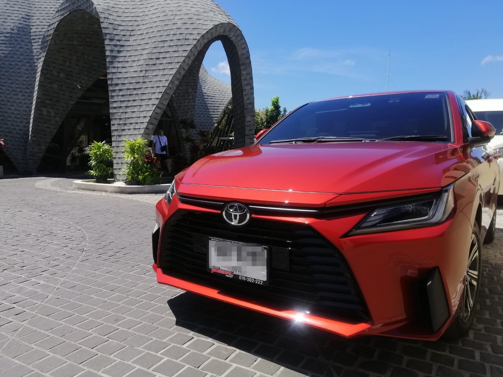
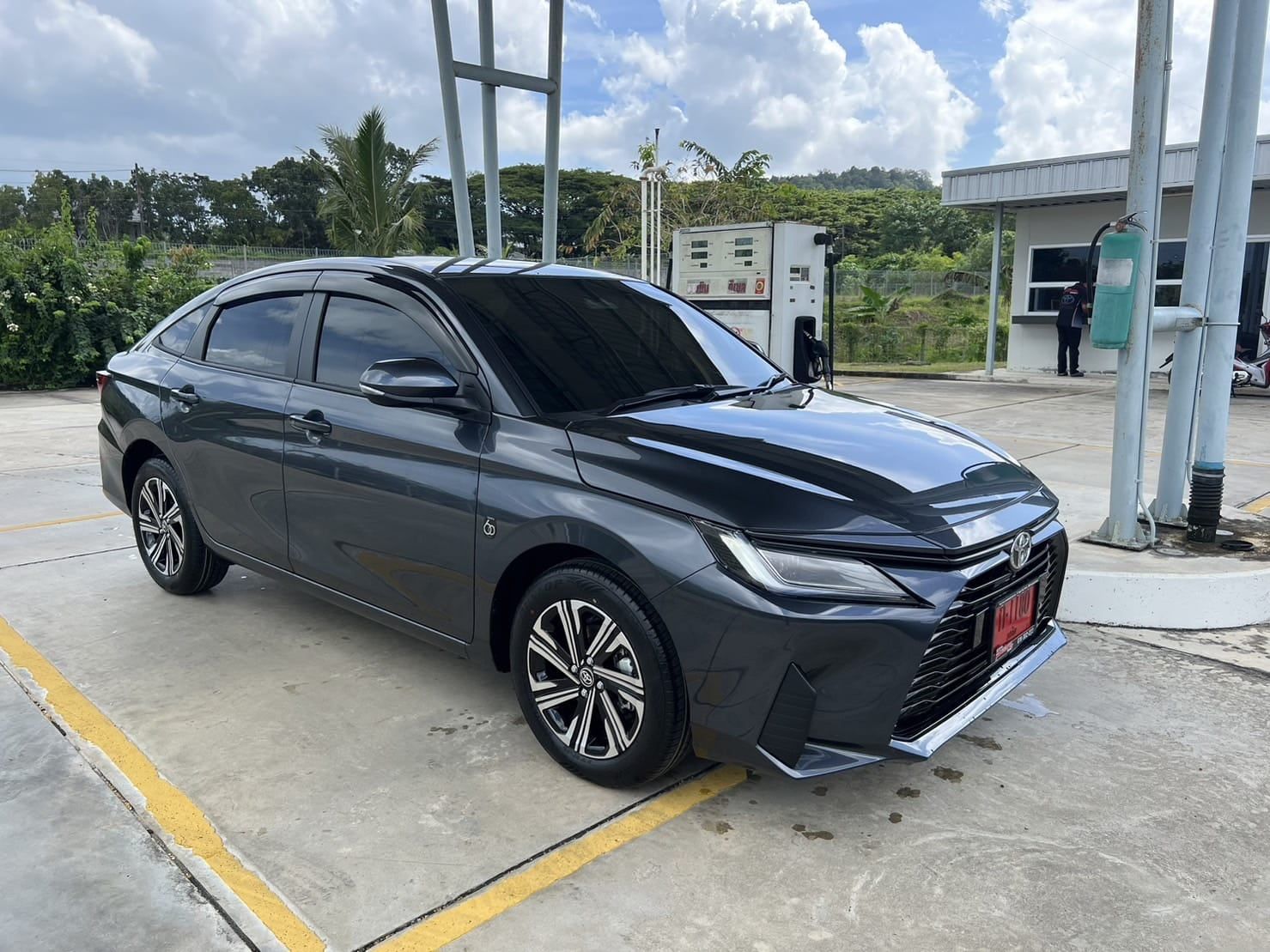
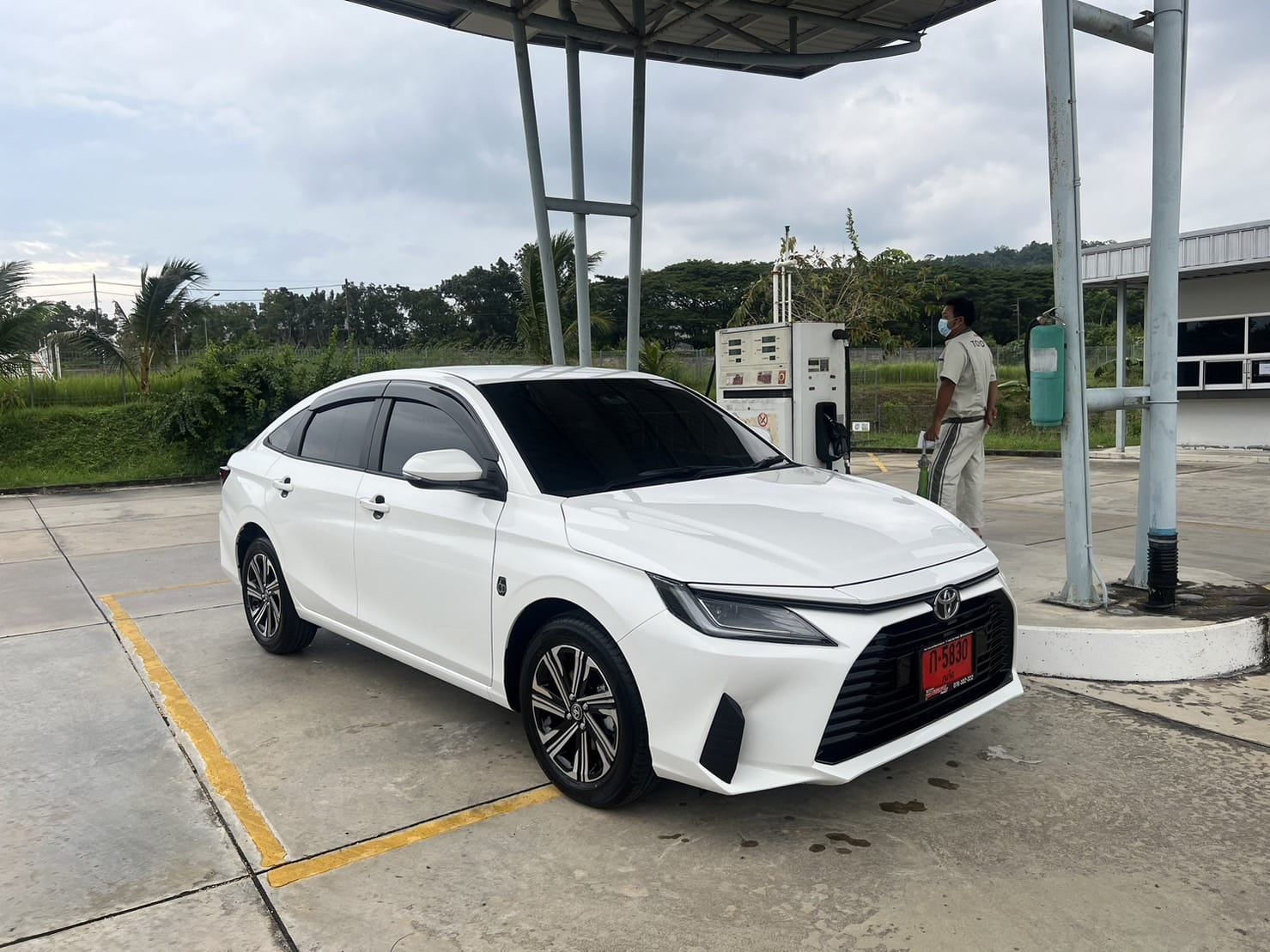
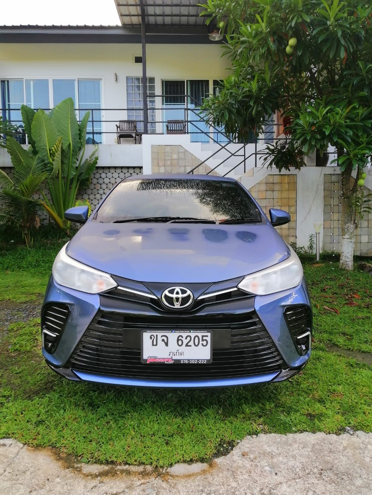
Every car below is ours. Photos are of the actual car you get, not a stock image.
Driving in Phuket: guides
- Phuket Airport to your hotel: taxi or rental car
- Renting a car in Phuket without a credit card
- Renting a car in Phuket without overpaying
- Driving licence and IDP for a rental car in Thailand
- Car or scooter in Phuket?
- Monthly car rental in Phuket
- Day trips from Phuket by car
- Where to park in Phuket
- Driving in Phuket in the rainy season
- Phuket with kids by car
- Renting a car in Phuket in high season